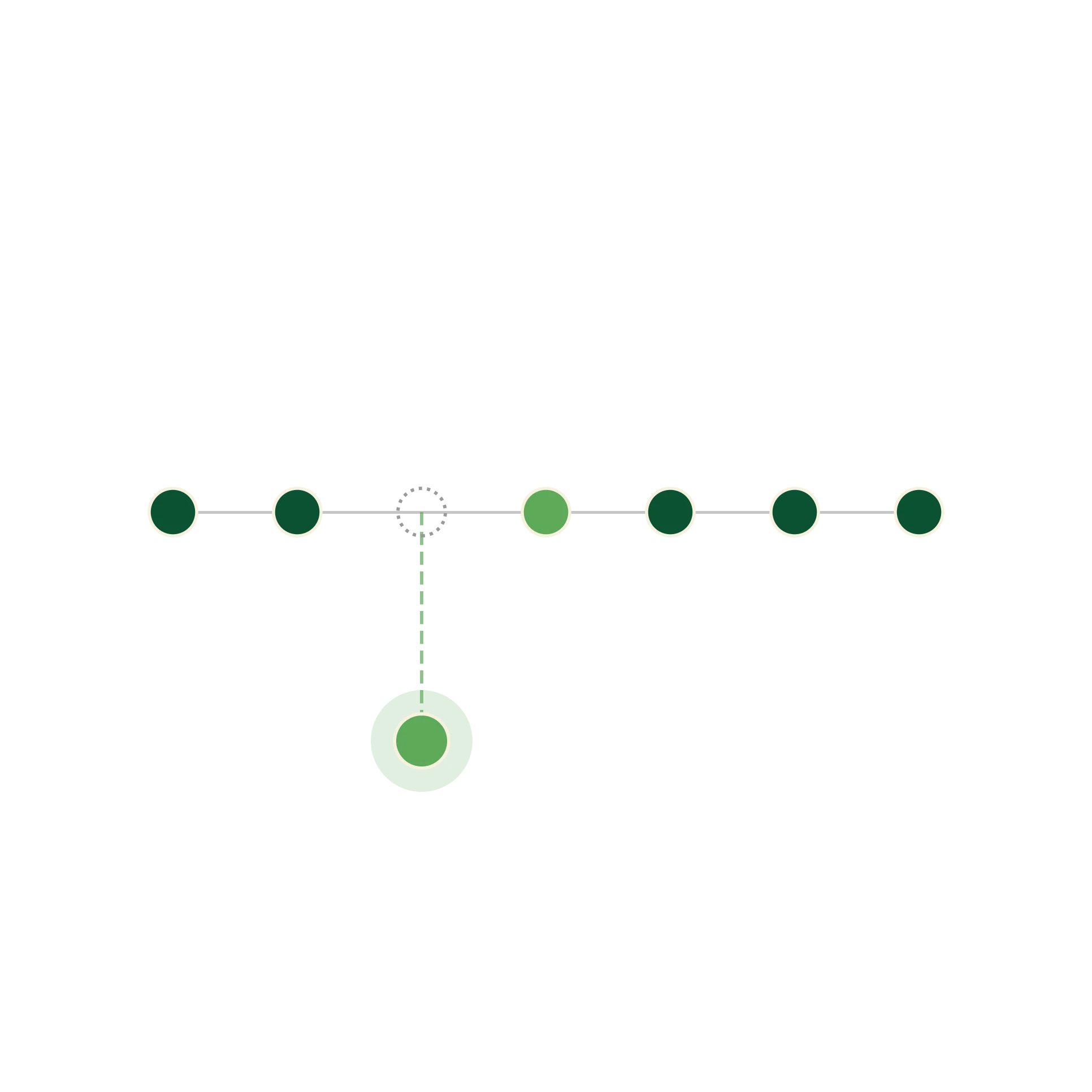
Collect Available Data
Gather the available field, climate, production, market and historical records that can support reconstruction.
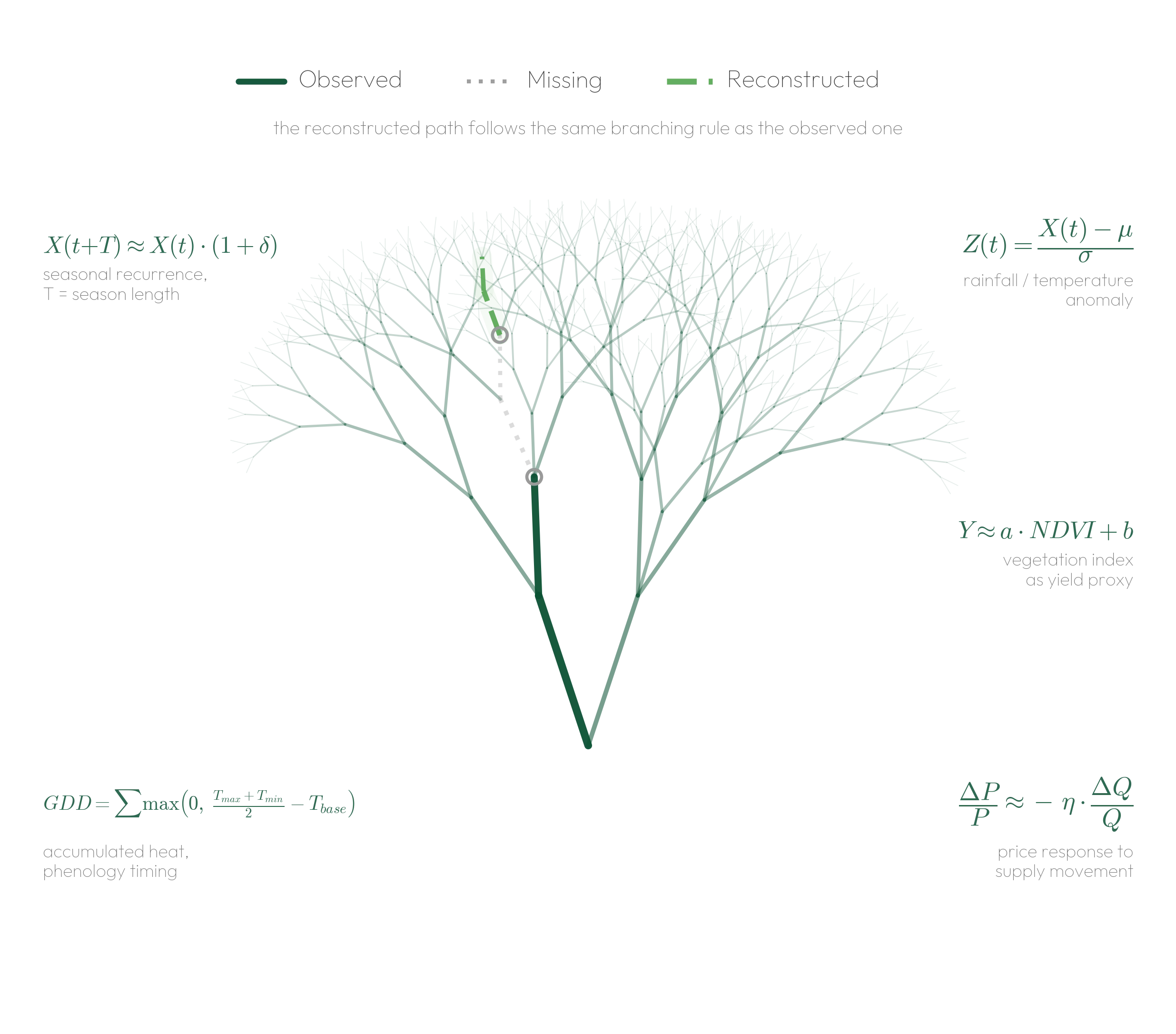
Data Reconstruction & Mimicking rebuilds missing or incomplete agricultural information by mirroring how real agricultural systems behave, not by guessing. It combines available data, spatial and seasonal patterns, and AI models, bounded by real agronomic and physical relationships, so institutions can make informed decisions even when critical data is unavailable.
OpenTrace reconstructs missing agricultural information by combining available data, spatial patterns, historical behaviour and AI models. The result is not guesswork. It is traceable reconstructed intelligence designed to improve coverage while preserving confidence and context.
HOW DATA RECONSTRUCTION WORKS
Gather the available field, climate, production, market and historical records that can support reconstruction.

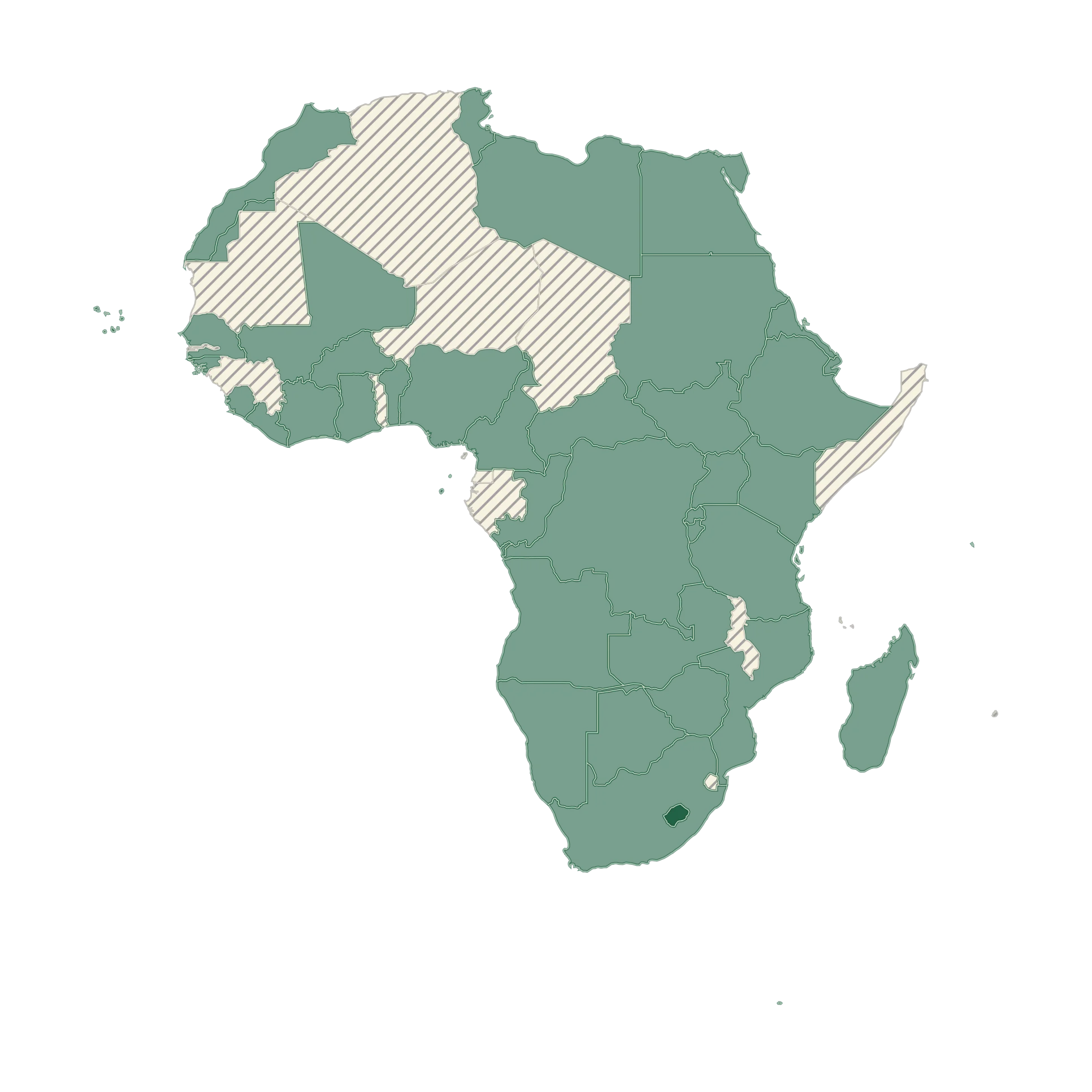
Detect gaps, sparse observations, missing regions and incomplete time periods across the agricultural intelligence base.
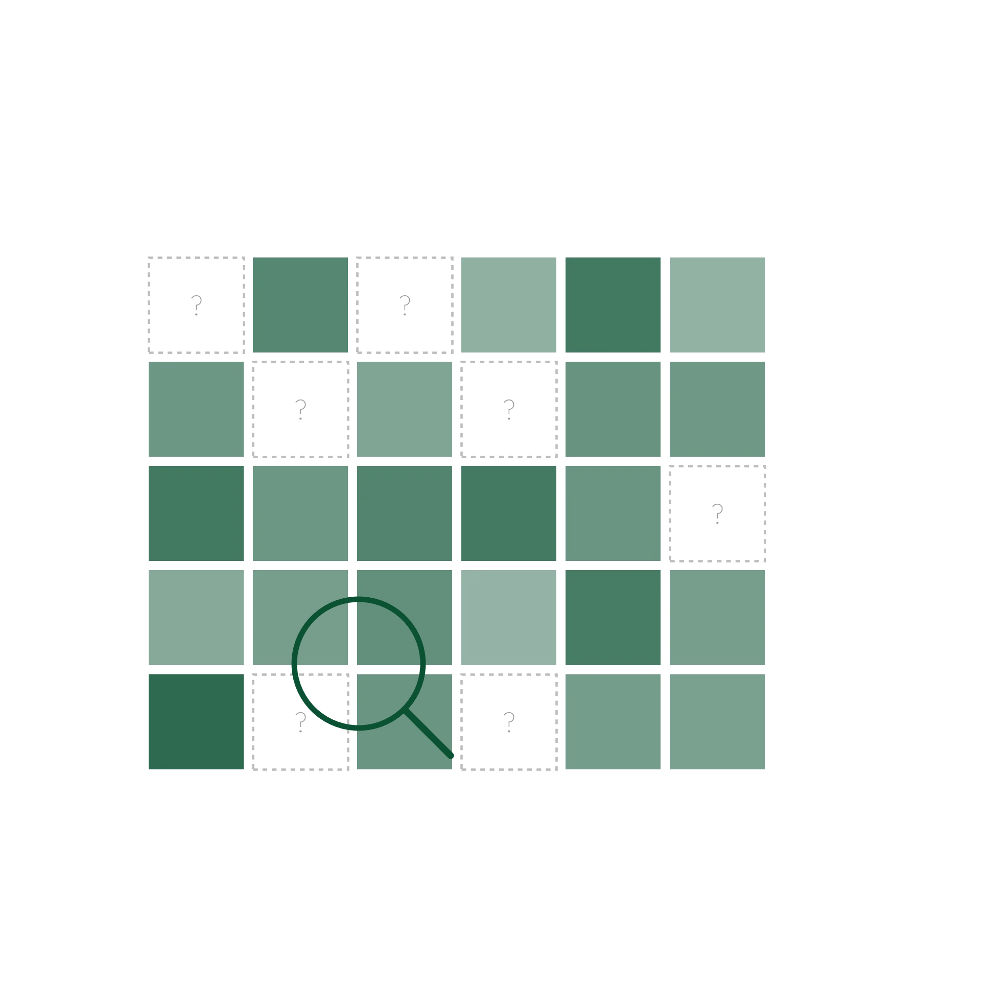
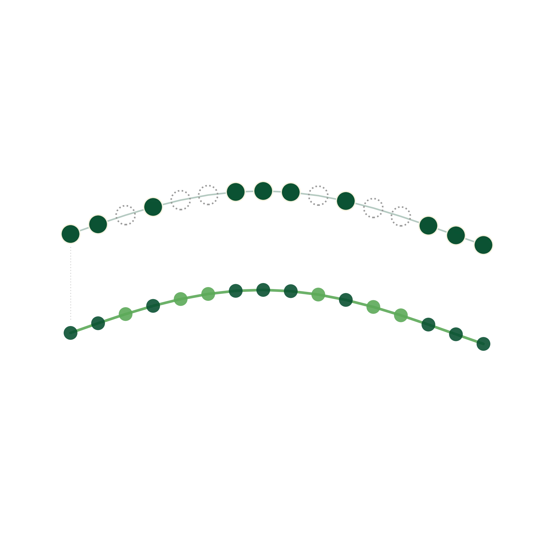
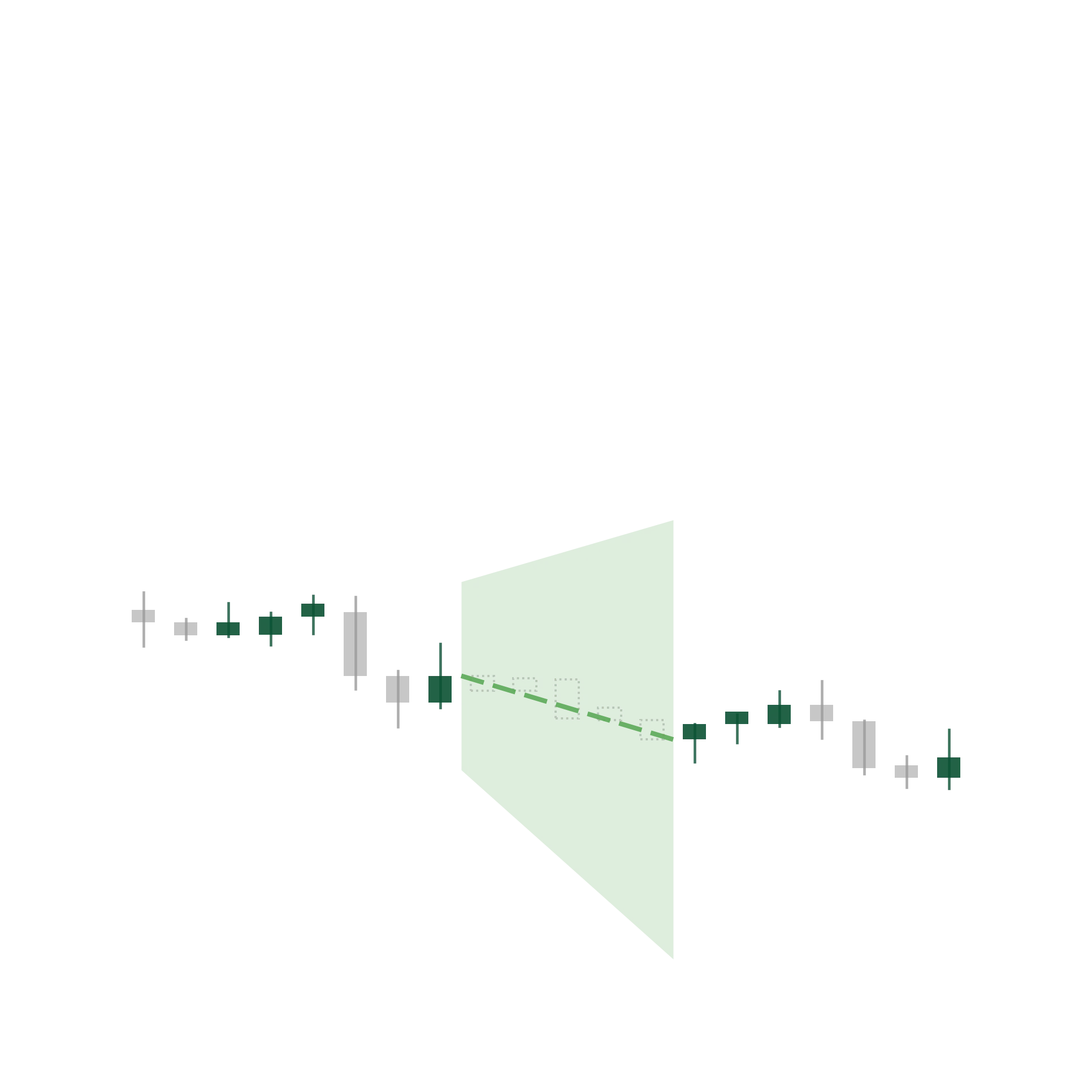
Rebuild missing values using seasonal cycles, climate variability, input-output relationships and market dynamics, the same patterns real agricultural systems actually follow, bounded by known agronomic and physical relationships rather than statistical guesswork.

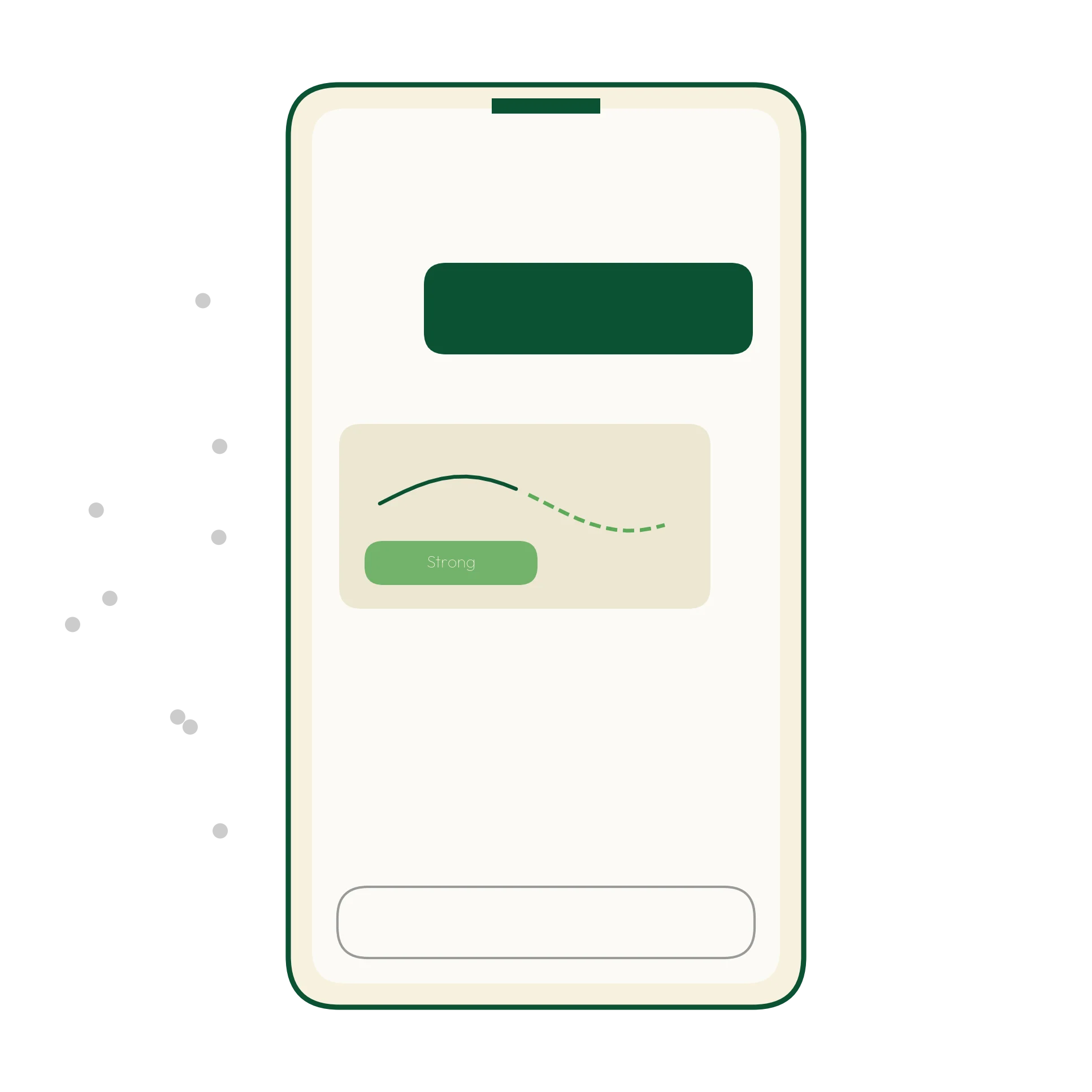
Provide more complete, traceable intelligence, with every reconstructed output carrying a confidence tier, from directly sourced to heavily reconstructed, so users always know how much reconstruction shaped what they are seeing.
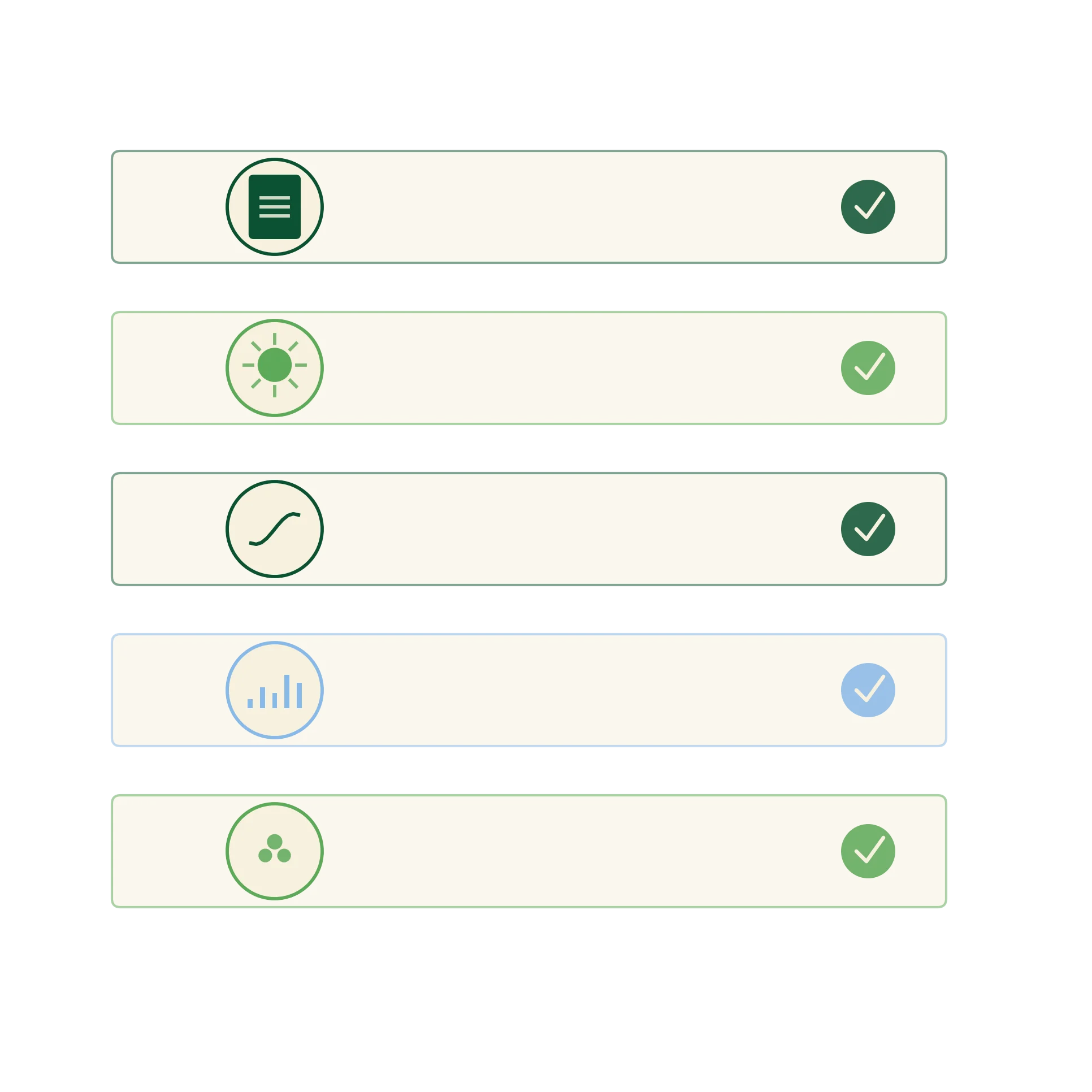
Pull climate records, production statistics, market information, and research data into one analytical layer.
Analyse patterns across multiple data sources to identify relationships between climate, production, and markets.
Combine global, national, and community signals to reconstruct missing context and surface trends that would otherwise stay invisible.
Help stakeholders see how agricultural systems evolve over time: shifts in production, climate exposure, market dynamics.
Every reconstructed output carries a confidence tier: High, directly sourced and consistent across datasets; Moderate, partially complete and supplemented with structured reconstruction; or Lower, limited and heavily reconstructed, interpreted as directional insight. The tier is always visible, and flows directly into the ADZA Confidence Model.
Create more complete evidence for planning, resource allocation and agricultural reporting, even where survey coverage is incomplete.
Improve programme targeting and monitoring where field data is uneven, delayed, or missing entirely.
Fill operational and risk-assessment gaps across supply, production, and borrower or regional data.
Recover usable insight from sparse, historical, or incomplete datasets while preserving full traceability back to original sources.
Benefit from guidance that stays reliable even where local records are thin, gaps are filled using real seasonal and regional patterns, not guesswork.
Create more complete evidence for planning, resource allocation and agricultural reporting.
Improve programme targeting and monitoring where field data is uneven or delayed.
Fill operational and risk-assessment gaps across supply, production and regional data.
Recover insight from sparse, historical or incomplete datasets while preserving traceability.
Benefit from guidance that stays reliable even where local records are thin.
We’re transforming agriculture through data. Get on the list and stay ahead of the curve.
Your application has been received. We’ll be in touch if your profile matches this role.