Connect Data
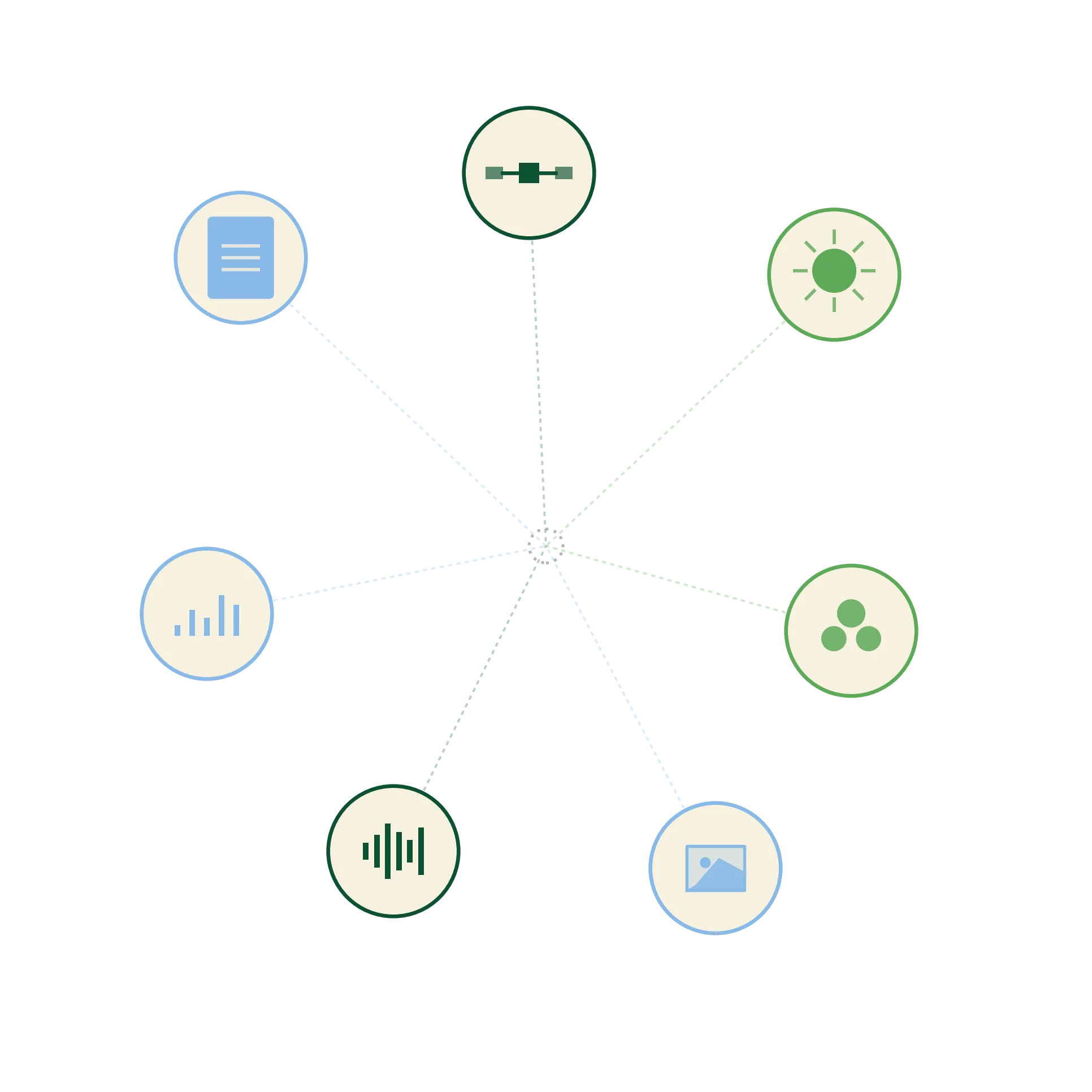
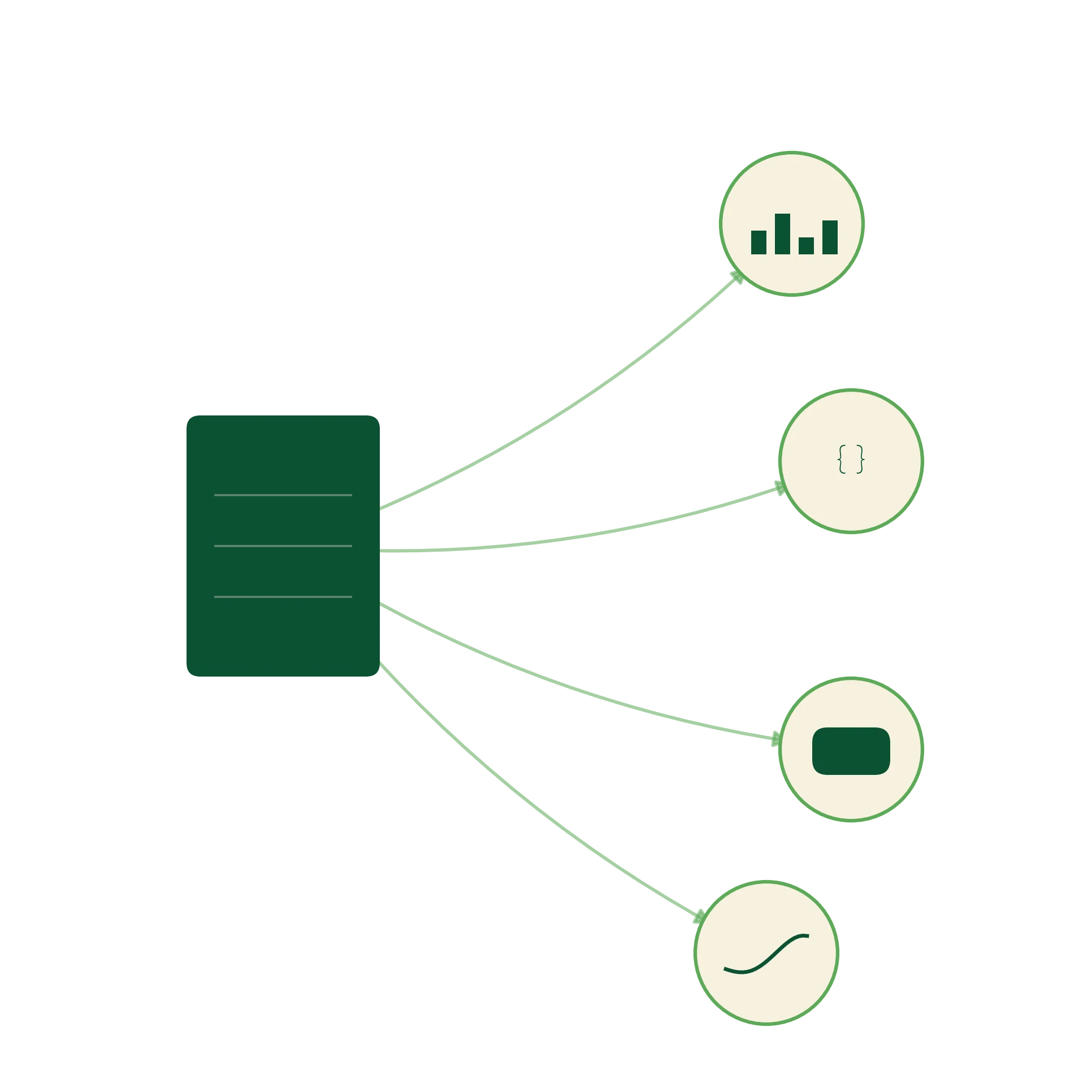
Connect government registries, satellite observations, climate systems, market data and research outputs, alongside unstructured sources like text, images, charts and audio transcriptions, without forcing central ownership.
OpenTrace Federated Intelligence Architecture brings government, satellite, climate, research, market and community datasets into one interoperable intelligence layer while preserving governance, attribution and institutional trust.
Data exists at incompatible scales, from global satellite products to community-level records, with little connecting them.
Yield, climate, market and nutrition data live in separate domain silos, even within the same geography.
Structured numbers sit in databases while the context that explains them, reports, images, field audio, remains unusable alongside the data.
OFIA creates a federated architecture where data can remain governed by its source while becoming standardized, interoperable and ready for intelligence workflows.
Instead of extracting ownership, it connects trust layers: attribution, metadata, geography, version history and access rules.
HOW OFIA WORKS
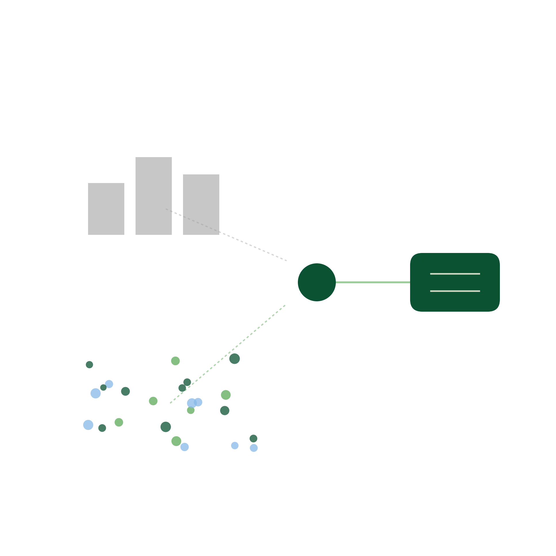
Connect government registries, satellite observations, climate systems, market data and research outputs, alongside unstructured sources like text, images, charts and audio transcriptions, without forcing central ownership.
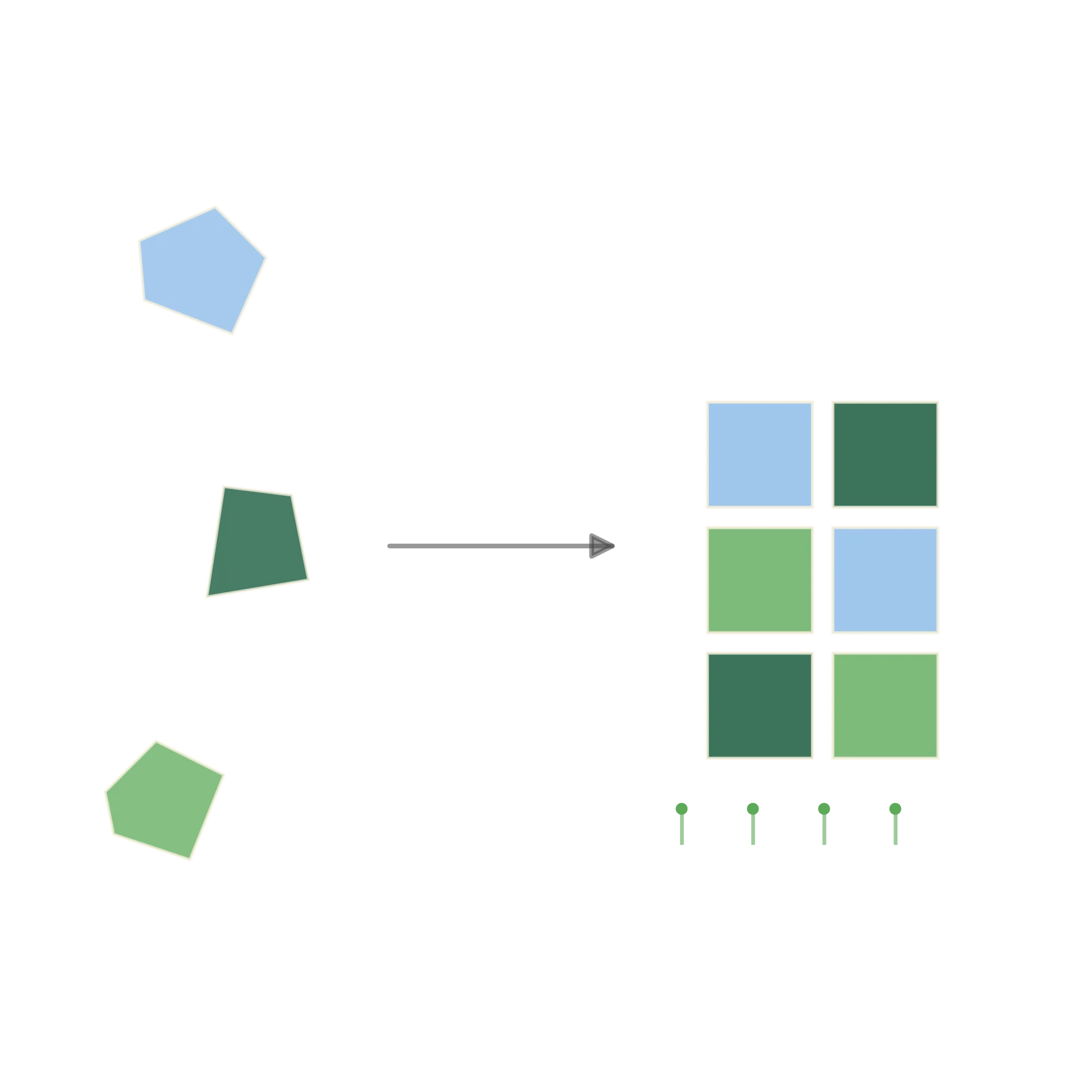
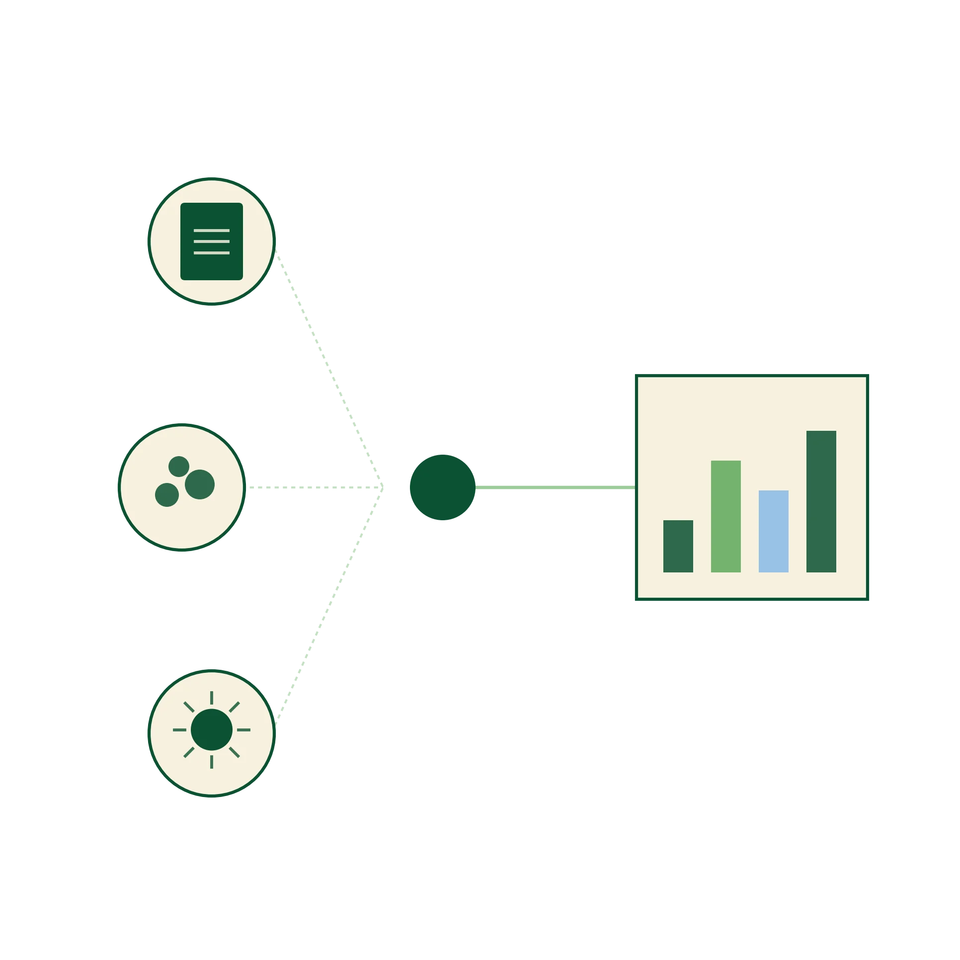
Translate inconsistent formats, definitions and collection methods into common schemas, indexed geospatially so data can be compared across regions and ecological zones.
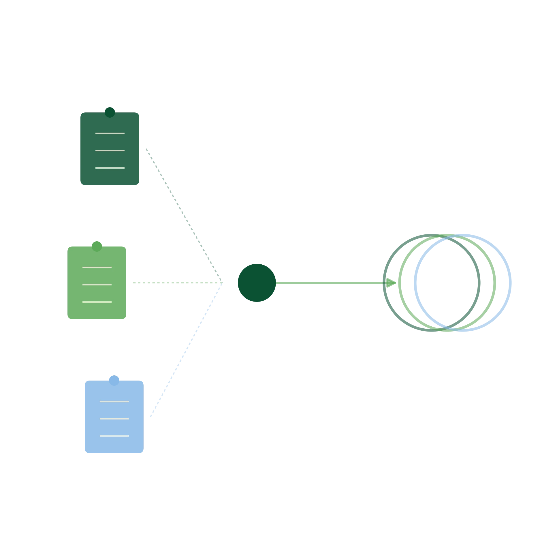
Preserve attribution, metadata, governance and provenance while GIS-indexing and federating distributed structured and unstructured data into one intelligence architecture.
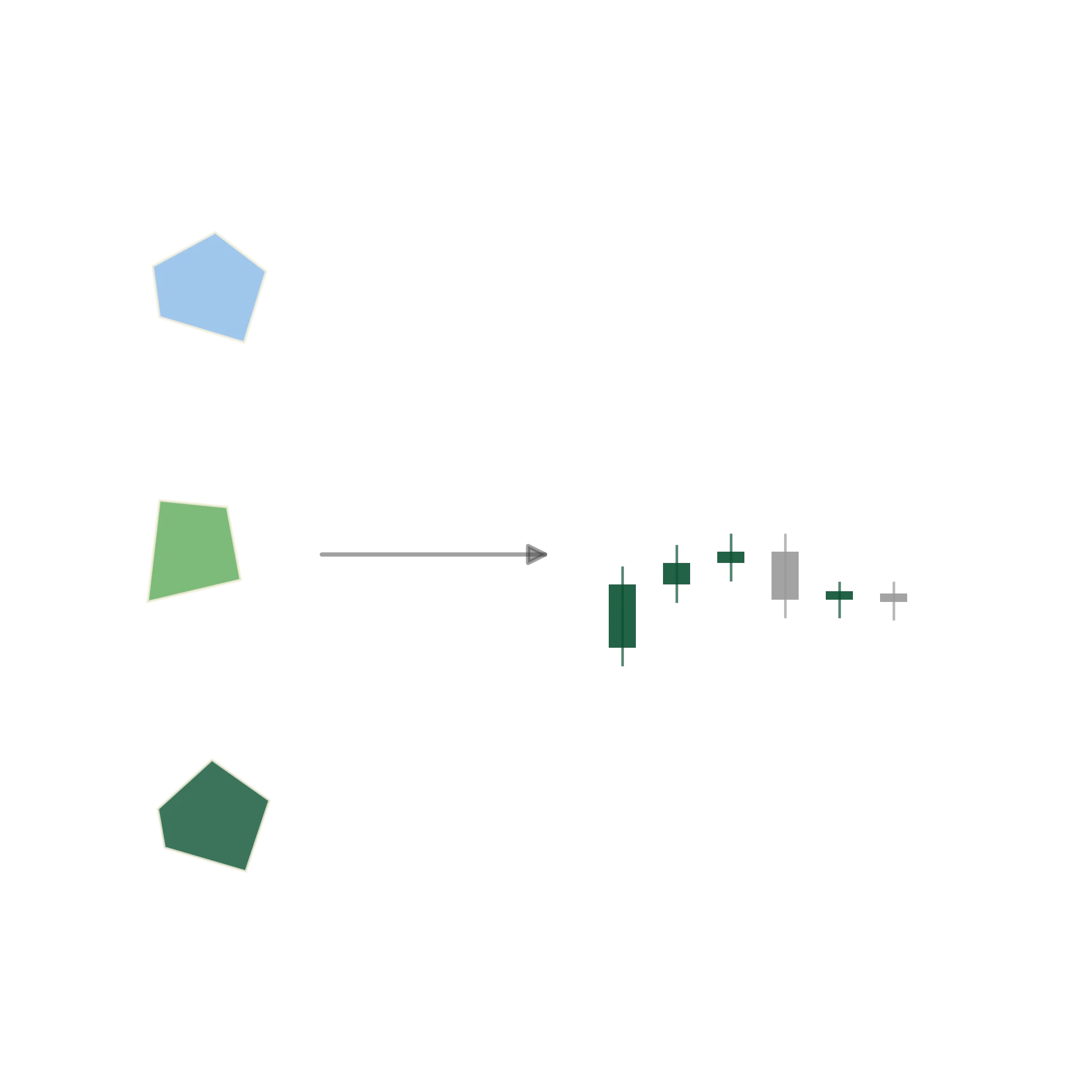
Deliver a structured foundation, spanning both quantitative indicators and qualitative context, for dashboards, APIs, Ask ADZA, predictive models and decision-grade agricultural intelligence.
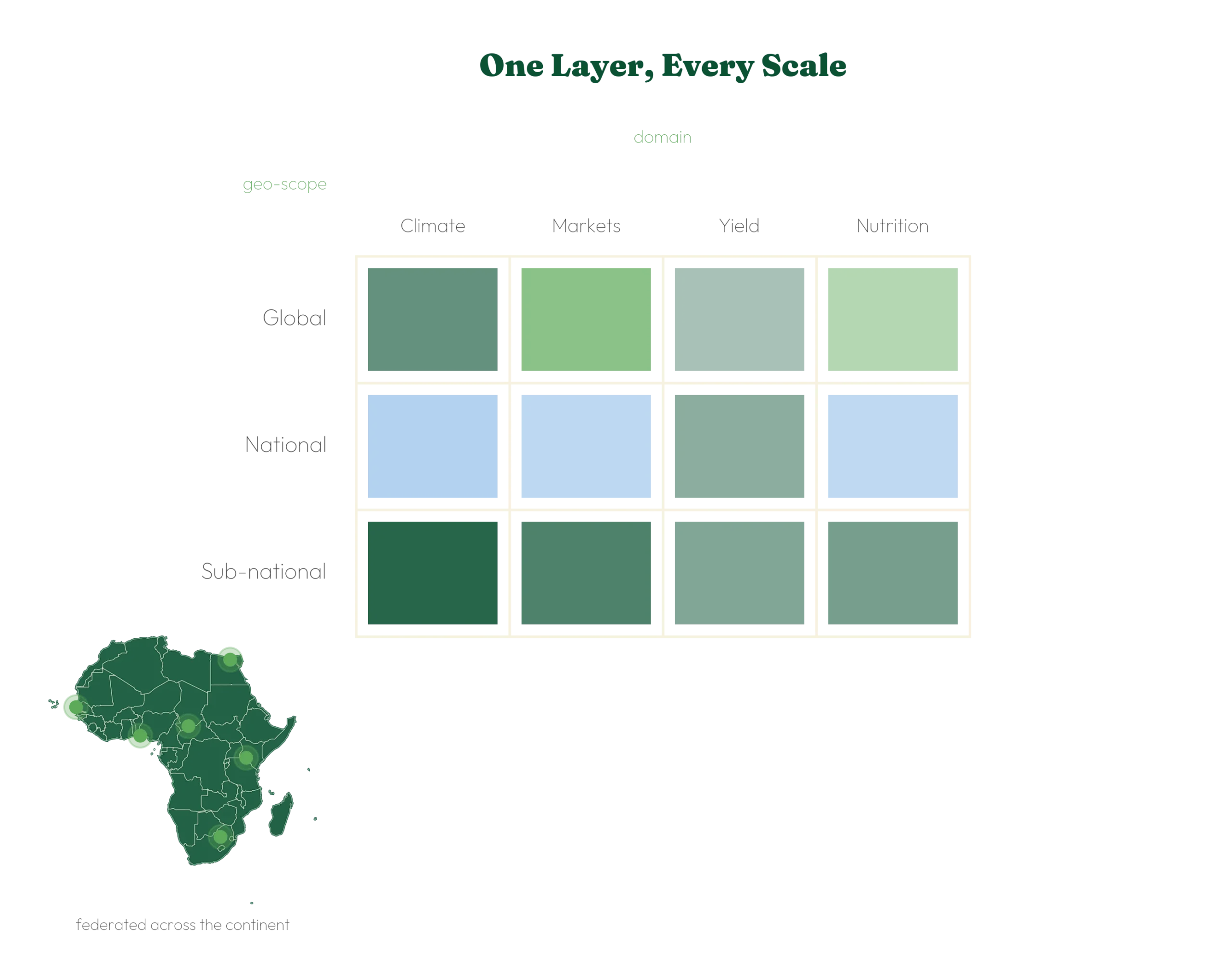
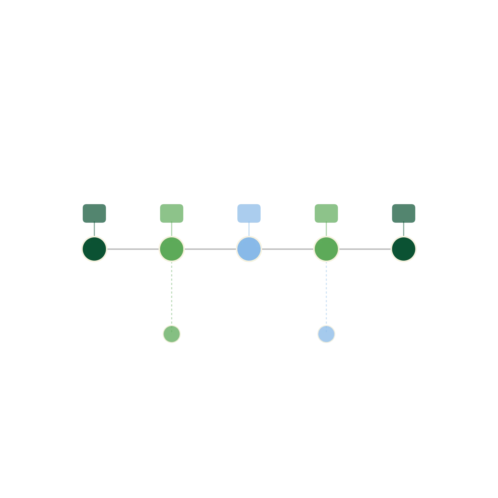
Integrates data vertically, across geographic scope from global to community level, and horizontally, across domains including yield, climate, markets, and nutrition.
Structures every record against both geopolitical boundaries and ecological zones, enabling queries that purely administrative systems cannot answer.
Brings quantitative indicators and qualitative sources, reports, images, field audio, into one queryable system, rather than treating context as separate from the data.
Keeps attribution, source ownership, provenance and access rules intact through federation, so no partner loses control of their data.
Unify ministry, regional and climate datasets into a shared planning layer for food security, input allocation and national reporting.
Connect programme data with the wider federated picture for stronger monitoring, evaluation and cross-programme comparison.
Align market, climate and supply data for operational planning, sourcing and risk assessment, without reconciling mismatched formats first.
Preserve source methods and metadata while improving dataset reusability across studies, regions and institutions.
Benefit from decisions and guidance grounded in data that includes community-level reality, not just national averages.
Create a shared evidence layer for planning, reporting and agricultural investment.
Connect programme data with wider context for stronger monitoring and evaluation.
Align market, climate and supply data for planning and risk assessment.
Preserve methods and metadata while improving dataset reusability.
Benefit from intelligence grounded in community-level data, not just national averages
Let’s explore how OFIA can help your institution connect fragmented datasets without losing trust, governance or attribution.
We’re transforming agriculture through data. Get on the list and stay ahead of the curve.
Your application has been received. We’ll be in touch if your profile matches this role.